A legacy of glacier observations
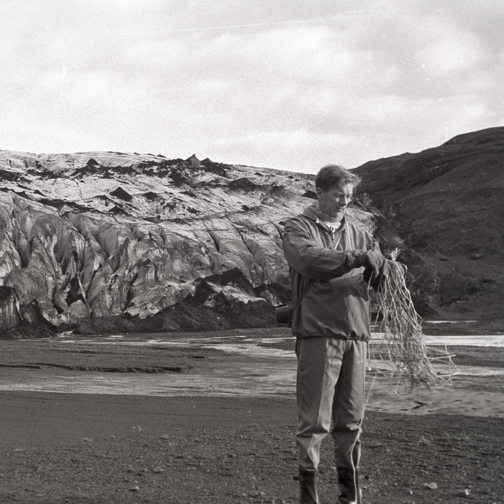
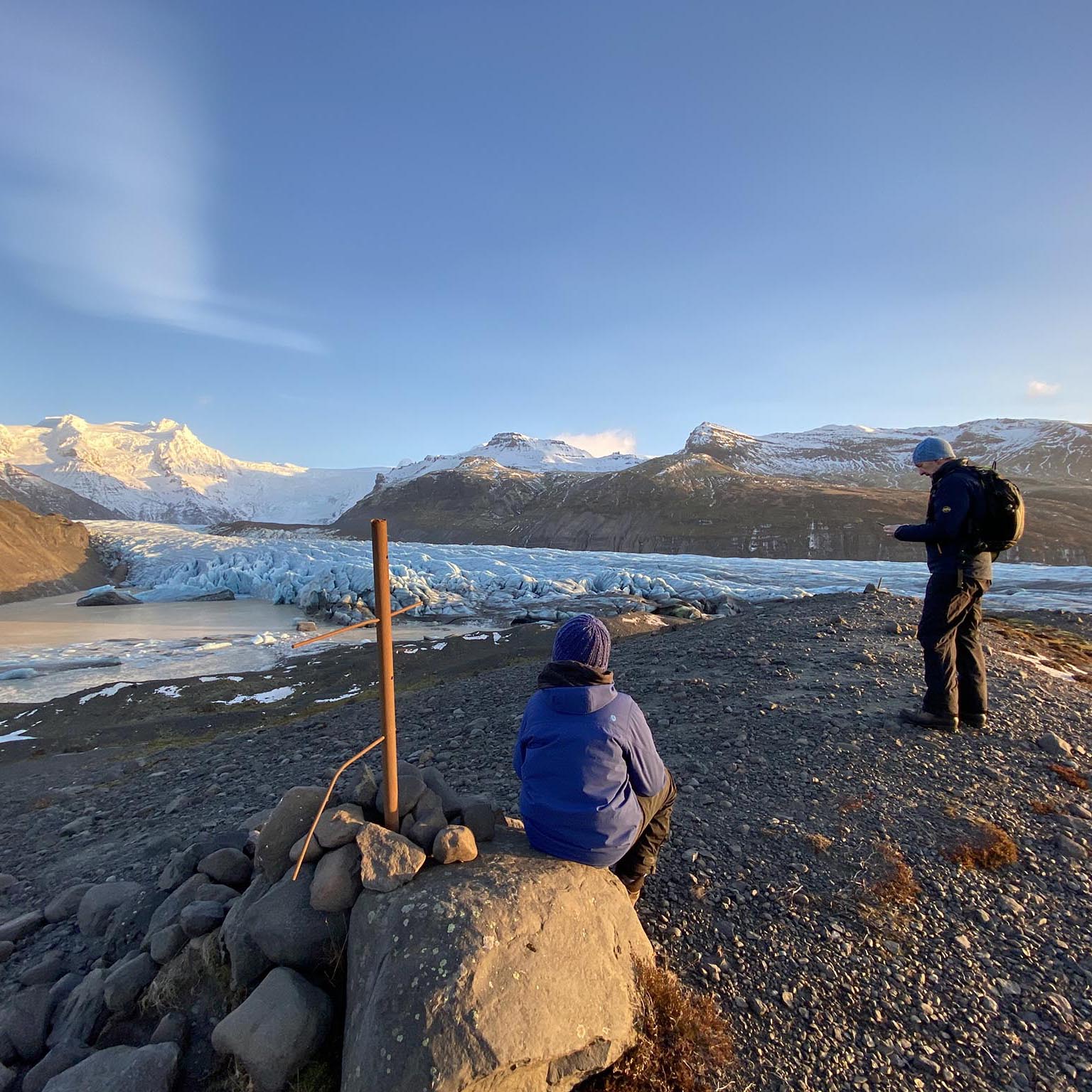
Annual observations of glacier termini in Iceland carried out by interested local and lay people started around the year 1930, led by Jón Eyþórsson, the founder of the Iceland Glaciological Society (Jöklarannsóknafélag Íslands, JÖRFÍ). It started with a measurement of the distance to the glacier terminus from a fixed point with a measuring tape and later GPS instruments took over the distance measurement. Volunteers of JÖRFÍ have carried out the measurements since the establishment of the society in 1950. These data are available on the glacier web portal and published annually in the journal Jökull.
These measurements are a remarkable source of information about glacier variations in Iceland for almost a century. They report the retreat and advance, and in some cases surges, of the largest outlet glaciers in Iceland and many of the smaller glaciers. Currently, the volunteers of JÖRFÍ observe the length changes of approximately 50 glaciers in Iceland.

Terminus measurement at Sólheimajökull using a string. Photo: Valur Jóhannesson, October 14 1973.

Terminus measurement at Svínafellsjökull. Photo: Svava Björk Þorláksdóttir, December 2020.

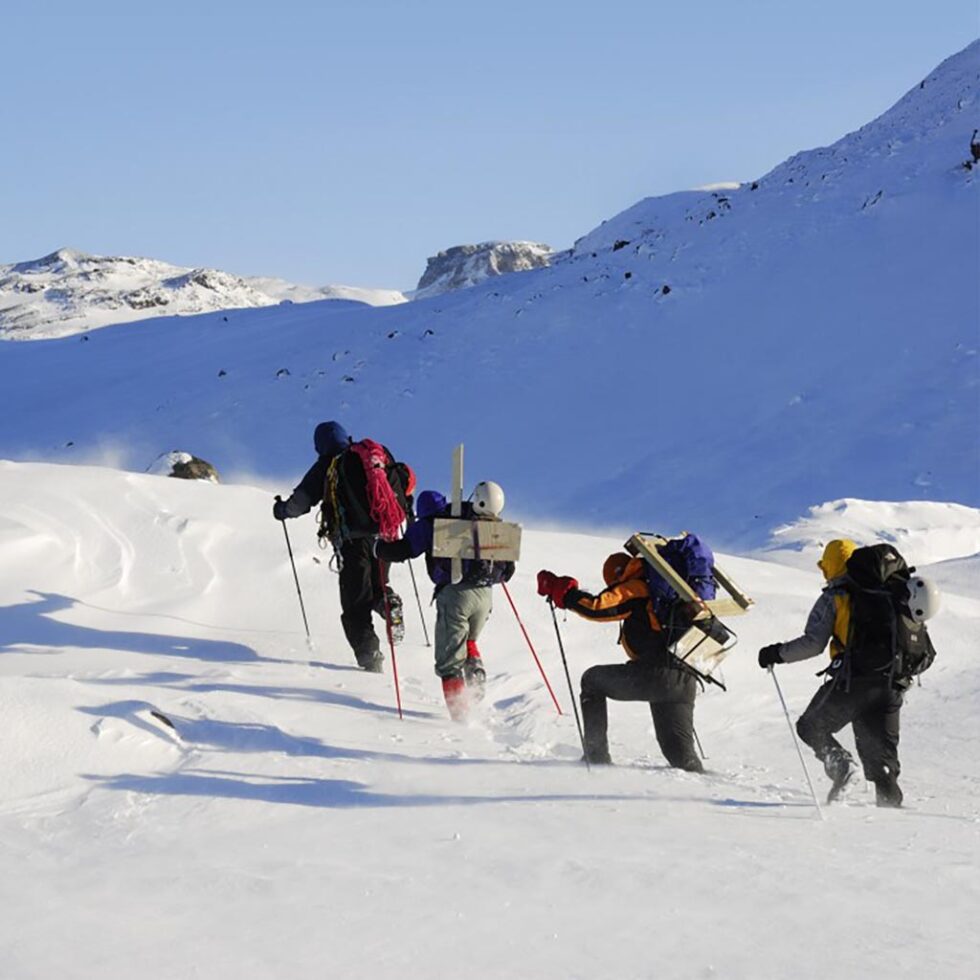
The Extreme Ice Survey team install a time-lapse camera at Sólheimajökull, March 2007.
About EISI
JÖRFÍ began a collaboration with photographer James Balog, the founder of the Extreme Ice Survey (EIS) project, in 2023. EIS operated time-lapse cameras all over the world, including Iceland at Sólheimajökull and Svínafellsjökull since 2007. The cameras and brackets of EIS in Iceland were decommissioned in 2022. The photos collected with the project Extreme Ice Survey Iceland (EISI) will continue the long-standing record of glacier termini observations by the volunteers of JÖRFÍ and contribute to a photographic record. The EISI project has selected sites for the photo platforms, some of which are the same as used by JÖRFÍ and EIS. The goal is to document the glacier changes and communicate the photographic record by providing an accessible photo archive, organized as a chronological and geographic continuum. Citizens and scientists are now teaming up in EISI to continue this photographic record for centuries to come.

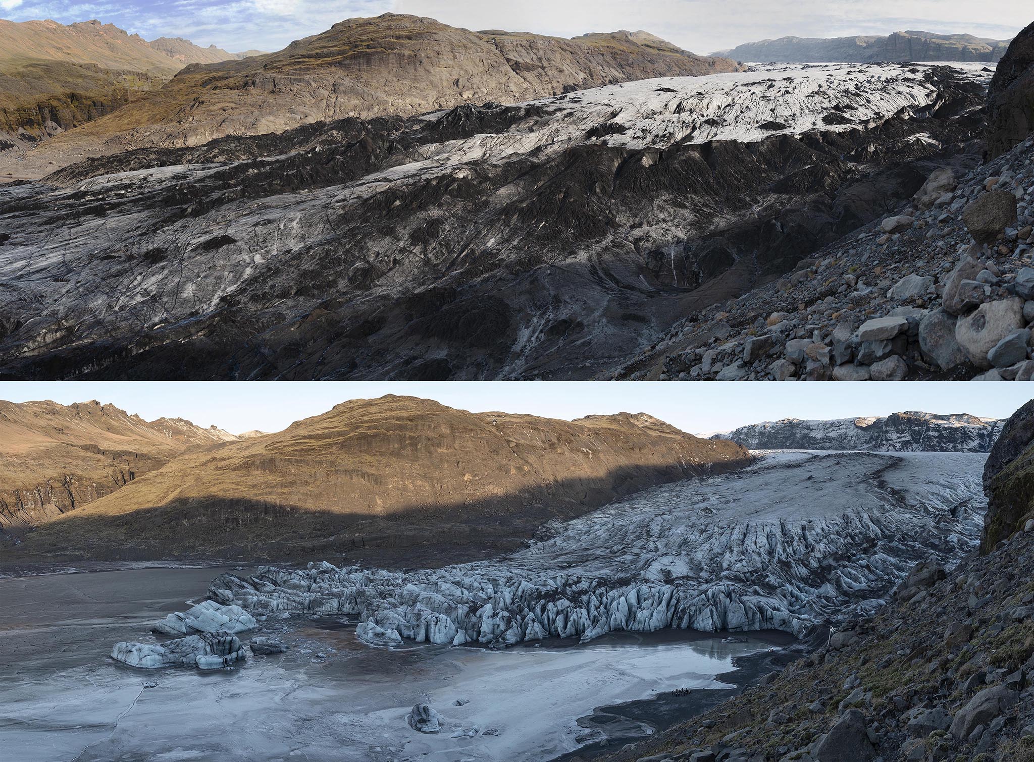
Repeat photos from one of the EIS locations in front of Sólheimajökull from 2012 to 2023. The location is now EISI camera bracket site number IS.006, Repeat photos: James Balog/EIS/EISI.


